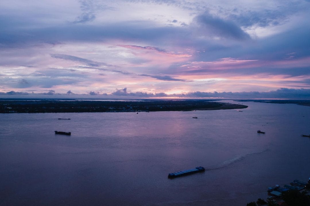
A River That Crosses Seven Countries
The Mekong rises in the Tibetan Plateau and flows roughly 4,900 kilometres before emptying into the South China Sea near Ho Chi Minh City. Along the way it passes through Yunnan province in China, Myanmar, Laos, Thailand, Cambodia, and Vietnam — feeding an estimated 60 million people who depend on its fish stocks, sediment, and seasonal floods for food and farming.
Few rivers in the world carry as much geopolitical weight. The upstream-downstream structure means that decisions made in Beijing or Vientiane about when to release or hold back water arrive as political facts in Phnom Penh or the Mekong Delta weeks later, often with little warning.
China's Cascade and the Data Asymmetry
China has constructed eleven dams on the upper Mekong — known in China as the Lancang — with a combined storage capacity that analysts at the Stimson Center have described as sufficient to hold roughly half of the river's annual flow. The dams provide hydropower for Yunnan and offer China a degree of control over downstream water levels that no lower-riparian country can match.
The core complaint from downstream governments is not the existence of the dams — Laos, Thailand, and Cambodia have built dozens of their own — but the opacity around operations. When China reduced outflows during the 2019–2020 dry season, downstream gauging stations recorded abnormally low water levels at a time when rainfall across the basin was average, according to monitoring data published by Eyes on Earth, a US-based research group. Beijing disputed the methodology. The disagreement exposed a structural problem: there is no binding multilateral mechanism that requires any riparian state to share real-time dam operation data with its neighbours.
The Mekong River Commission's Structural Limits
The Mekong River Commission, established in 1995, includes Thailand, Laos, Cambodia, and Vietnam but not China or Myanmar. China participates as a "dialogue partner," sharing some hydrological data under a bilateral arrangement with the MRC but without the legal obligations that full membership would carry.
The Commission has facilitated environmental studies and set procedural norms for new dam notifications under its Prior Consultation Process. In practice, that process has been tested and found limited: when Laos proceeded with the Xayaburi dam in 2012 over the objections of Vietnam and Cambodia — and with Thailand as the primary buyer of the power — the MRC's consultation mechanism produced dialogue but no veto. The Xayaburi has been generating power since 2019.
Downstream governments, particularly Vietnam, have argued that the Prior Consultation Process needs teeth: binding environmental impact assessments, minimum flow guarantees, and third-party arbitration. Landlocked Laos, which earns foreign exchange from selling power to Thailand, views binding constraints differently.
Sediment, Fish, and the Delta
The dam debate is often framed around water volume, but sediment may matter as much or more. Healthy river sediment deposits nutrients on floodplains and rebuilds the delta against sea-level rise. Dam reservoirs trap that sediment. The Mekong Delta in southern Vietnam — which produces roughly half of Vietnam's rice and the majority of its exported seafood — has been measured as losing ground to the sea at accelerating rates, a trend that researchers at Can Tho University have linked in part to sediment starvation caused by upstream impoundment.
The Tonle Sap lake in Cambodia, which fills and empties each monsoon season in one of the most productive freshwater fisheries in the world, has shown declining water levels and fish catches over the past decade. Whether upstream dams, climate variability, or local overfishing bears primary responsibility is contested in the scientific literature — but the convergence of pressures leaves downstream fishing communities with fewer options.
Regional Attempts at New Frameworks
In 2020, the United States launched the Mekong-US Partnership, which has funded water data collection and infrastructure assessments in lower-basin countries. Japan has invested in hydrological monitoring infrastructure through the Japan International Cooperation Agency. The Mekong Dam Monitor, a satellite-based tool maintained by academic researchers, provides public near-real-time tracking of reservoir levels at major dams across the basin.
None of these initiatives replaces a basin-wide governance framework with legal authority. ASEAN, which includes all lower-basin states as well as Myanmar, has addressed Mekong issues at the margins but does not have a mandate over transboundary water management. The absence of China and Myanmar from the MRC, combined with the commercial interests of power-selling Laos, has kept any proposal for binding upstream commitments off the table.
Water analysts note that climate change is compressing the window for negotiation. Monsoon variability has increased, prolonged droughts are more frequent, and glacial retreat on the Tibetan Plateau — the river's headwater source — is projected to alter long-term flow patterns in ways that are still imperfectly modelled. Managing a river shared by seven countries becomes harder as the baseline itself becomes less predictable.